Urban centers are dynamic, ever-evolving ecosystems. As populations concentrate and infrastructure demands escalate, the need for intelligent, forward-thinking urban planning becomes paramount. At the forefront of this crucial field, Apex Engineering offers a comprehensive suite of Urban Planning & Geospatial Services, seamlessly integrating spatial analysis with strategic planning to create sustainable, efficient, and vibrant urban environments
Our expertise extends across the full spectrum of urban development, from broad regional strategies to the intricate details of land subdivision. By harnessing the power of Geographic Information Systems (GIS) and cutting-edge locational technologies, Apex Engineering provides clients with the insights and tools necessary to make informed decisions, optimize resource allocation, and ultimately shape the future of our cities and regions.
The Synergy of Spatial Understanding and Strategic Vision
What sets Apex Engineering apart is our holistic approach. We understand that effective urban planning is intrinsically linked to a deep understanding of spatial relationships. Our geospatial services provide the foundational layer for all planning endeavors, offering a powerful lens through which to analyze existing conditions, model future scenarios, and identify optimal solutions.Our Comprehensive Service Portfolio Includes:
Urban and Regional Planning
At the macro level, we assist governments and development agencies in formulating comprehensive spatial plans that guide long-term growth and development. This includes:
- Regional Spatial Plans: Developing strategic frameworks for the sustainable development of larger geographic areas, considering factors such as population distribution, economic activities, environmental conservation, and infrastructure networks.
- Local Spatial Plans: Creating detailed plans for specific urban areas, outlining land use zones, transportation networks, public spaces, and development guidelines. These plans are crucial for managing growth, promoting efficient land utilization, and enhancing the quality of life for residents.
- Action Area Plans: Focusing on specific areas within a city that require focused intervention or redevelopment. We develop detailed plans outlining specific projects, infrastructure improvements, and regulatory frameworks to revitalize these areas and unlock their potential.
- Subject/Sector Plans: Addressing specific aspects of urban development, such as transportation, housing, environmental management, or economic development. These plans provide in-depth strategies and implementation frameworks for achieving specific sectoral goals within the broader urban context.
Preparation of Subdivision Schemes
Guiding the process of dividing larger parcels of land into smaller, manageable plots for various development purposes. Our services ensure compliance with all relevant regulations, optimize land utilization, and create well-designed and functional subdivisions. This includes:
- Property Registration and Numbering: Establishing clear and accurate property boundaries and addressing systems, crucial for efficient land administration, service delivery, and property management.
Leveraging the Power of Geospatial Technology
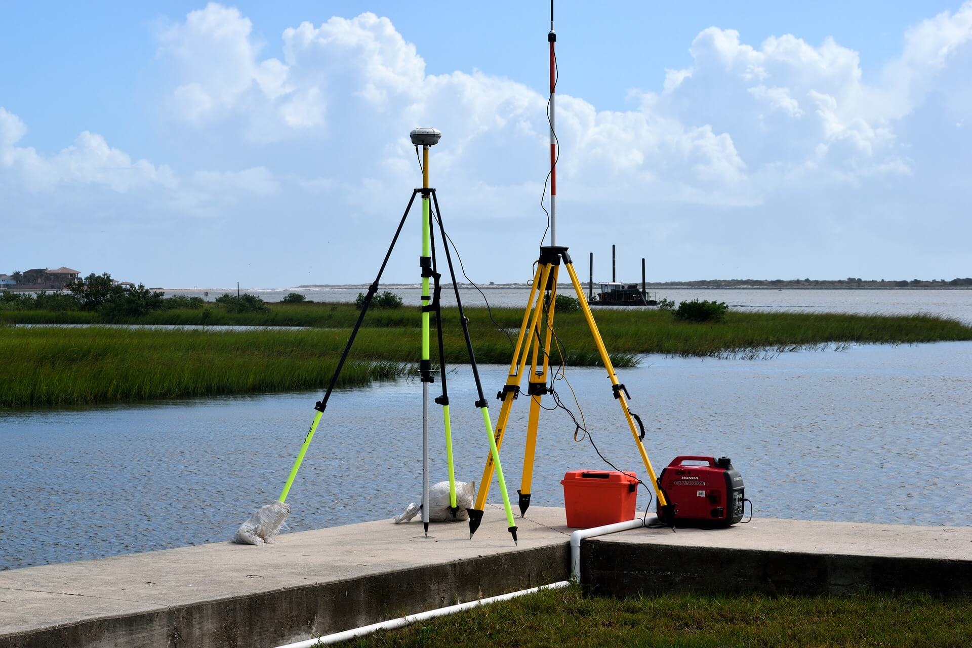
At the heart of our urban planning services lies the intelligent application of geospatial technologies. We utilize advanced GIS software, remote sensing data, and GPS technologies to:
- Conduct comprehensive spatial analysis: Understanding existing land use patterns, infrastructure networks, environmental constraints, and socio-economic characteristics.
- Visualize complex data: Creating informative maps, 3D models, and interactive dashboards that communicate spatial information effectively to stakeholders.
- Model future scenarios: Simulating the potential impacts of different planning decisions, allowing for informed choices and risk mitigation.
- Optimize infrastructure planning: Identifying optimal routes for transportation networks, utilities, and other essential infrastructure based on spatial analysis and cost-effectiveness.
- Support sustainable development: Analyzing environmental data, identifying areas of ecological sensitivity, and incorporating green infrastructure into urban plans.
Applications Across Diverse Sectors:
Apex Engineering's Urban Planning & Geospatial Services are applicable across a wide range of sectors, including:
- Government Agencies: Assisting in the formulation and implementation of national, regional, and local development plans.
- Real Estate Developers: Providing crucial spatial insights for site selection, feasibility studies, and the design of sustainable and marketable developments.
- Infrastructure Providers: Optimizing the planning and deployment of transportation, energy, and communication networks.
- Environmental Organizations: Utilizing geospatial data for conservation planning, environmental monitoring, and natural resource management within urban and peri-urban areas.
- Smart City Initiatives: Providing the spatial intelligence foundation for the development and implementation of smart city technologies and strategies.
Partnering for a Sustainable Urban Future:
At Apex Engineering, we are committed to helping our clients create resilient, livable, and sustainable urban environments. Our integrated approach, combining deep expertise in urban planning with the power of geospatial technology, ensures that our clients are equipped with the knowledge and tools to navigate the complexities of urban development and build a brighter future for their communities.
We invite you to learn more about how Apex Engineering's Urban Planning & Geospatial Services can contribute to your next project. Visit our dedicated services page at here to explore our capabilities and discover how we can help you unlock the full potential of your urban spaces.


